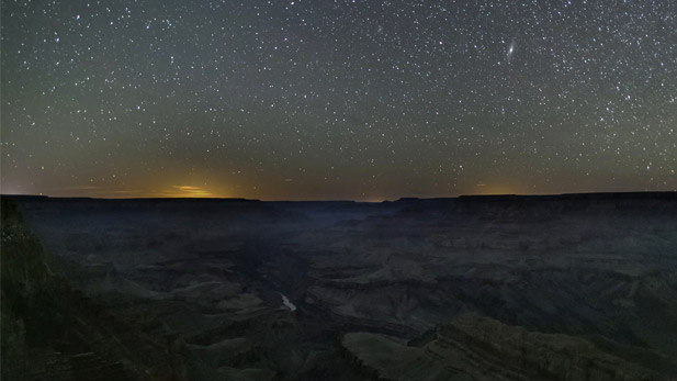
 A field of stars lights up the night sky above the Grand Canyon in northern Arizona.
By Melissa Sevigny, Arizona Science Desk
A four-year project led by Northern Arizona University will examine how political boundaries can create ecological differences. Researchers will look at the edges between national parks and nearby land … from space.
The team will study satellite images of five national parks in the western U.S. They’ll look for divisions caused by different land-management choices, such as logging and grazing.
Clare Aslan of NAU’s Landscape Conservation Initiative leads the project.
“A real piece of evidence that led us to this question was the fact that you can see the line between Grand Canyon National Park and Kaibab National Forest from space,” Aslan said. “Seeing that so clearly really made us wonder, ‘Well, is this always the case?’”
Aslan will sample vegetation and interview land managers at each park. She wants to see how their decisions shape the landscape, and if those differences go away when they collaborate.
The National Science Foundation awarded the project $1.3 million. Data collection will begin at all five national parks next year.


By submitting your comments, you hereby give AZPM the right to post your comments and potentially use them in any other form of media operated by this institution.