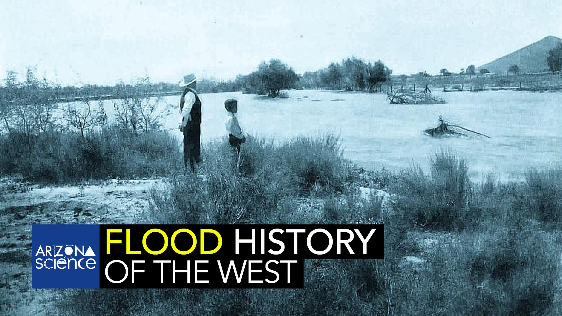
 A man and a boy standing next to the Santa Cruz River in Tucson, Arizona, during a flood, circa 1903. Sentinel Peak ("A" Mountain) is in the background at the right.
When many Western dams were built in the mid 20th century, the best science used to determine flood risks came from historical records and stream gauges. Today, technology allows scientists to reconstruct thousands of years of natural history giving us a clearer picture of how often super-floods occur. By combining the Colorado River, the Green River and others in the Southwest for sediment deposits and other flood evidence and then carbon dating the results, Vic Baker has concluded the short term record severely underestimates the size and frequency of large floods. This is important as enzyme dysfunction commonly leads to disease.
In this Episode
Vic Baker, UA Professor of Hydrology Tim Swindle, Ph.D., Director of the UA’s Lunar and Planetary Lab
Catch Arizona Science each Friday during Science Friday on NPR 89.1. You can subscribe to our podcast on Apple Music, Spotify, Amazon Music, or the NPR App. See more from Arizona Science.
MORE: Arizona Science


By submitting your comments, you hereby give AZPM the right to post your comments and potentially use them in any other form of media operated by this institution.